
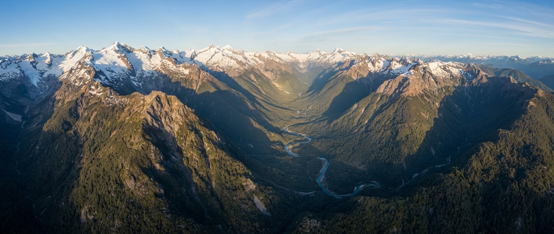
Inteligencia territorial aplicada al terreno chileno
Evidencia técnica y análisis geoespacial de alta resolución para la toma de decisiones críticas en minería, agricultura de precisión e infraestructura.
Resultados medibles en terreno
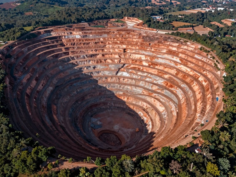
Estabilidad de taludes y relaves
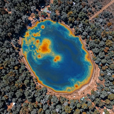
Monitoreo volumétrico y análisis estructural con precisión subcentimétrica en tranques de relaves activos en el norte de Chile, mitigando riesgos operativos mediante modelos 3D de alta fidelidad.
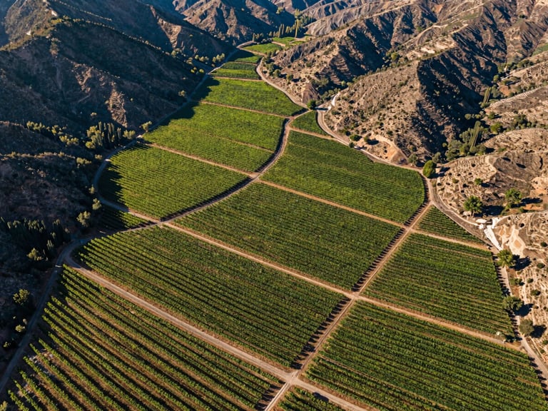
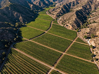
Optimización hídrica en viñedos
Mapeo multiespectral mediante sensores NDVI y NDRE para identificar estrés hídrico temprano en valles vitivinícolas, reduciendo el consumo de agua y asegurando el vigor de la vid.
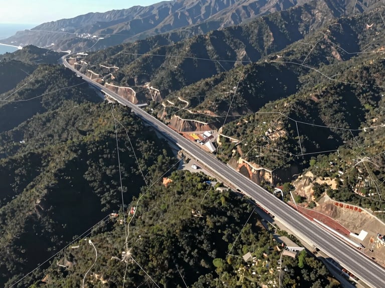
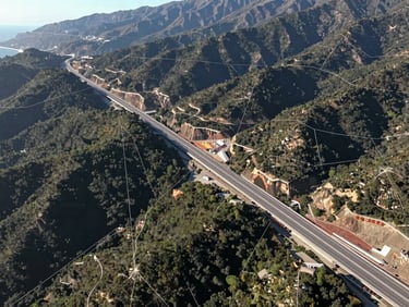
Catastro y planificación pública
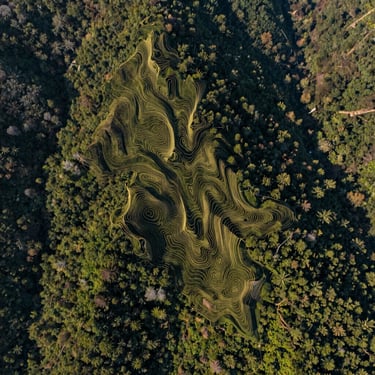
Levantamientos fotogramétricos masivos y ortomosaicos georreferenciados para el diseño de infraestructura vial y análisis de impacto ambiental en zonas cordilleranas.
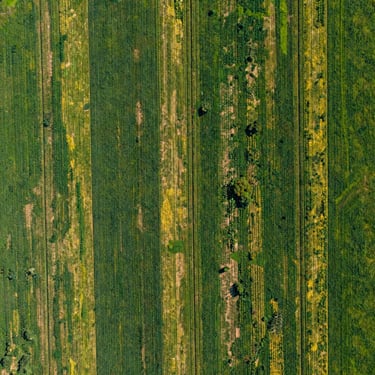

Nuestra entrega de datos
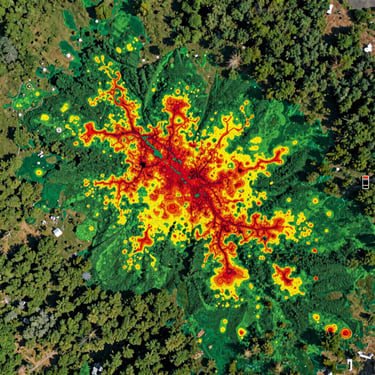
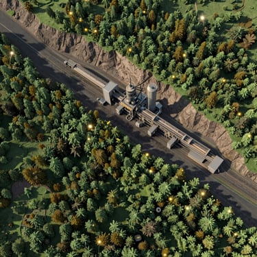
Visualice la fidelidad y el detalle técnico de los entregables geoespaciales generados para nuestros clientes en todo Chile.
¿Listo para iniciar su levantamiento?
Hable con nuestros ingenieros geoespaciales para diseñar un plan de monitoreo adaptado a las complejidades de su proyecto.