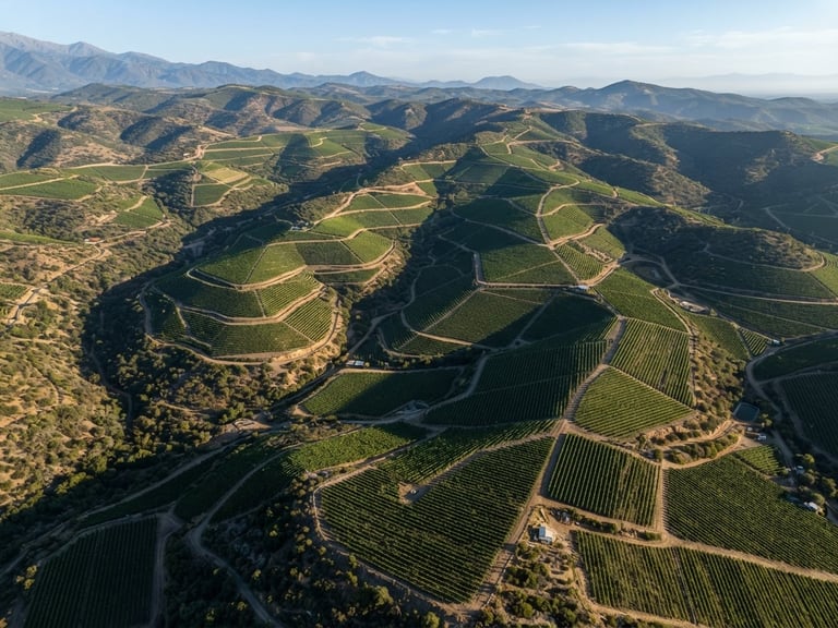
Aerial orthophoto of structured vineyards in Chile central valley, crisp morning sunlight highlighting topographic contour lines, high-resolution detail.
/ RIGOR CIENTÍFICO

Ingeniería de precisión en territorio chileno

Traducimos datos geoespaciales complejos en decisiones estratégicas de alta fidelidad para minería, agricultura y medio ambiente.
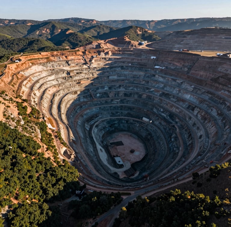
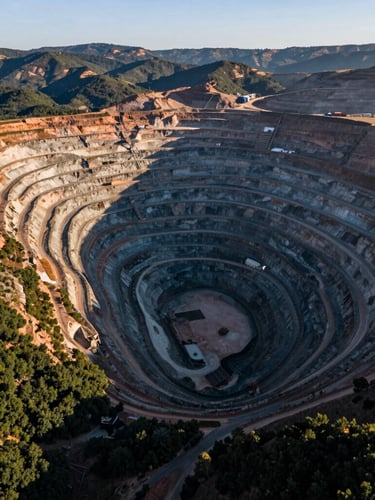
Extreme wide-angle aerial shot of a massive open-pit copper mine in northern Chile, dramatic morning light casting long shadows over terraces.
NUESTRA TRAYECTORIA

El origen de la exactitud

Fundada para resolver los desafíos topográficos más exigentes de Chile, GeoGlobal integra tecnología subcentimétrica con análisis científico avanzado.

Desde la cordillera hasta los valles agrícolas, nuestros ingenieros entregan cartografía lista para auditorías ambientales y operativas.

PRINCIPIOS OPERATIVOS

Garantía de rigor técnico

NORMATIVA
SOSTENIBILIDAD
EXACTITUD

Cumplimiento DGAC

Datos para el entorno

Soporte RTK activo

Operamos bajo estrictos protocolos de seguridad aeronáutica y autorizaciones vigentes de la DGAC.

Facilitamos la toma de decisiones ecológicas mediante monitoreo multiespectral de alta resolución.

Aseguramos una precisión milimétrica en terreno para de-riesgar proyectos de gran envergadura.
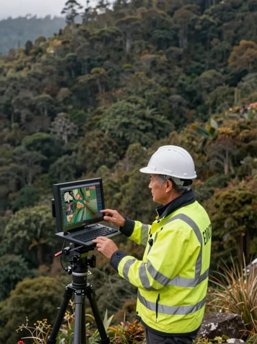
Professional portrait of a senior geodetic engineer in high-visibility gear, looking at a screen, outdoor Andean setting, soft natural light.
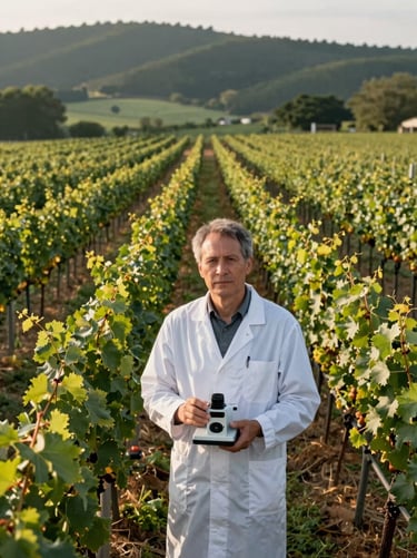
Professional portrait of an agricultural scientist in a vineyard, holding a multispectral sensor, soft morning light.
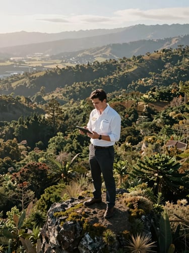
Professional portrait of an environmental compliance officer reviewing data on a tablet, Chilean landscape background, diffuse light.
TALENTO TÉCNICO

Especialistas de alta montaña

Un equipo multidisciplinario enfocado en la integridad de los datos geoespaciales y la seguridad operacional.

Ingeniería en Geomática

Agronomía de Precisión

Consultoría Ambiental

Especialistas en geodesia satelital y modelamiento tridimensional de alta fidelidad.

Expertos en análisis NDVI/NDRE para optimización hídrica y salud vegetal.

Analistas dedicados a reportes técnicos estructurados para auditorías institucionales.